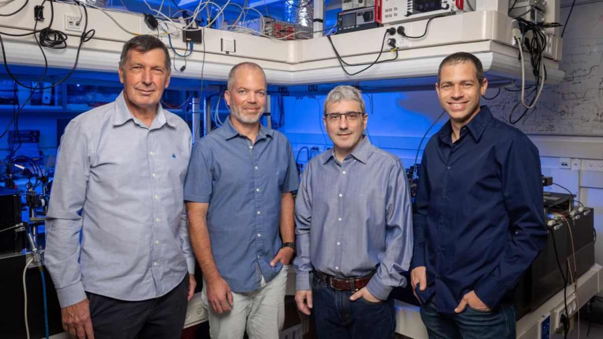
Q-Factor, Israel’s newest quantum developer, revealed early this week a $24 million in seed funding to innovate in the field of neutral-atom quantum computing, with Intel Capital as one of the funding investors. The company was founded by researchers from the Technion – Israel Institute of Technology and the Weizmann Institute of Science, with both […]